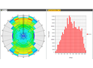
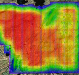
The Petrel seismic survey design (SSD) plug-in is a powerful survey design tool fully integrated into the Petrel environment. The Petrel SSD plug-in enables users to plan, edit, execute, and analyze marine, land, OBC, and VSP surveys. Numerous acquisition geometries are supported, including 2D and 3D narrow, wide, and multi- and full azimuth. The Petrel SSD plug-in can also be used to create complex shooting scripts (source-receiver relationships) and compute survey attributes such as fold, unique fold, and minimum and maximum offsets and visualize them as color maps. The sophisticated metrics in Petrel SSD for survey design QC include rose diagrams, spider diagrams, histograms, and redundancy charts.
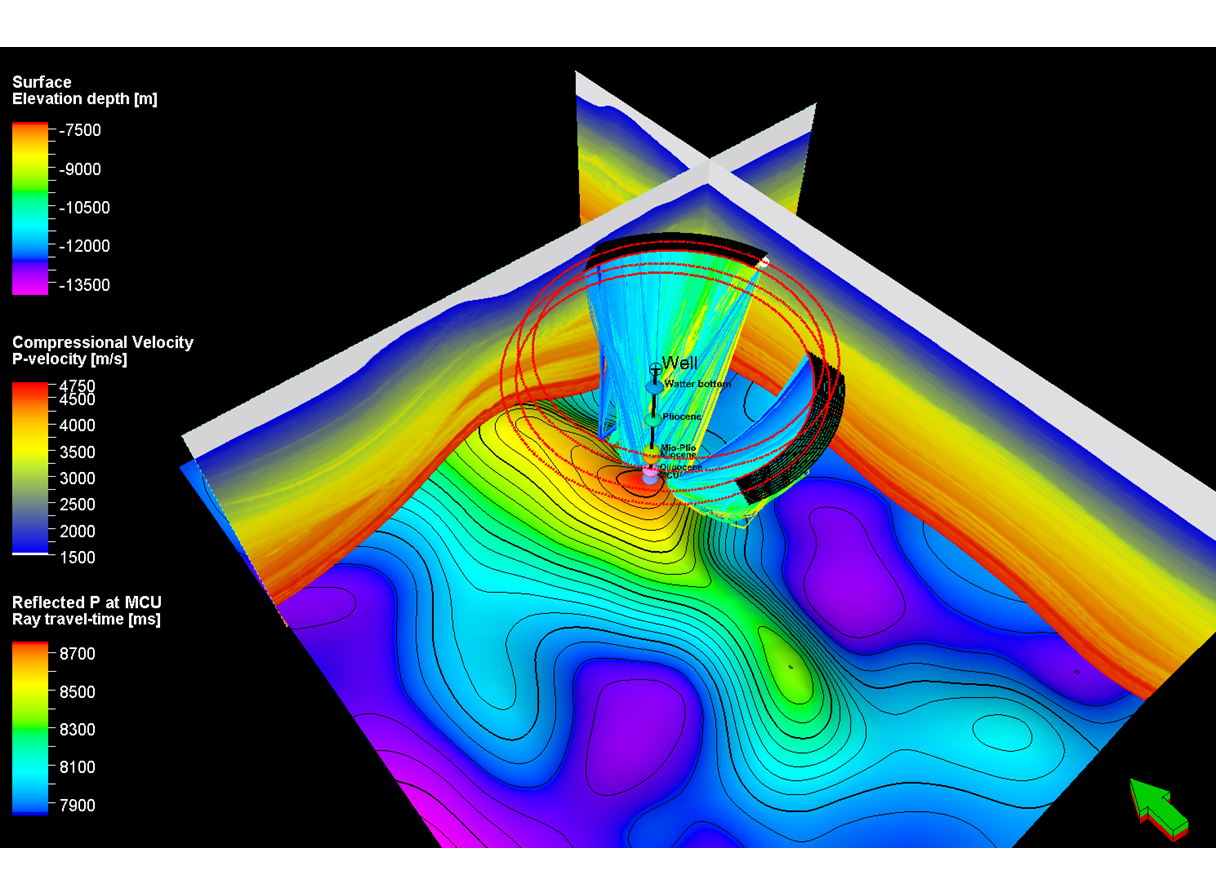
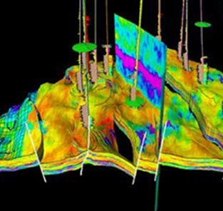
To enable advanced workflows, the Petrel SSD plug-in can be combined with the Petrel Earth Model Building (EMB) plug-in. Combined with Petrel EMB’s ray-tracing capabilities, the Petrel SSD plug-in enables users to adjust seismic acquisition parameters to address specific imaging challenges given by complex geological models.
Features
-
Import and export data in various formats (SPS, P190, SEGP1, and DIO) as well as seismic surveys created in OMNI 3D seismic survey design software.
-
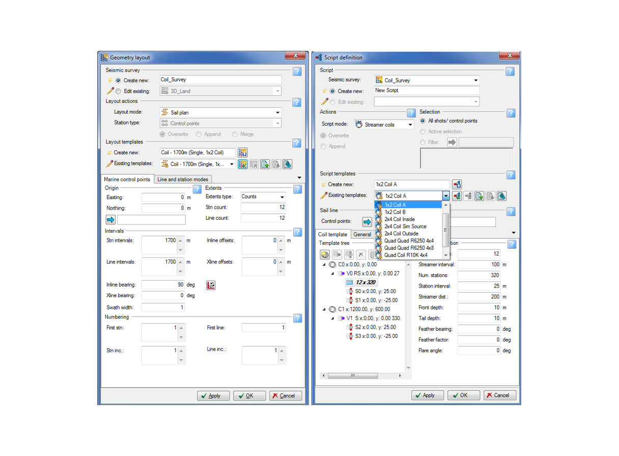
Quickly create complex acquisition geometries and shooting scripts using predefined layout and script templates, respectively.
-
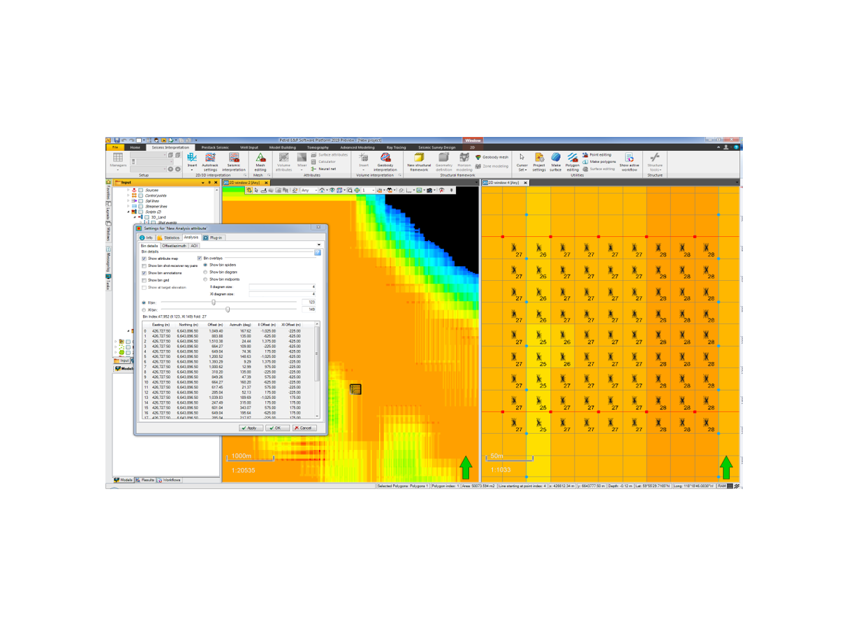
Modify stations using editing tools such as selection/toggle, include/exclude, delete, move, drag, and project.
-
Create well-known shooting scripts such as pattern, area, circular, all live, VSP, and streamer lines and coils as well as customized shooting scripts with template roll.
-
Employ sophisticated station and script filtering for import and export and ray tracing (part of Petrel EMB).
-
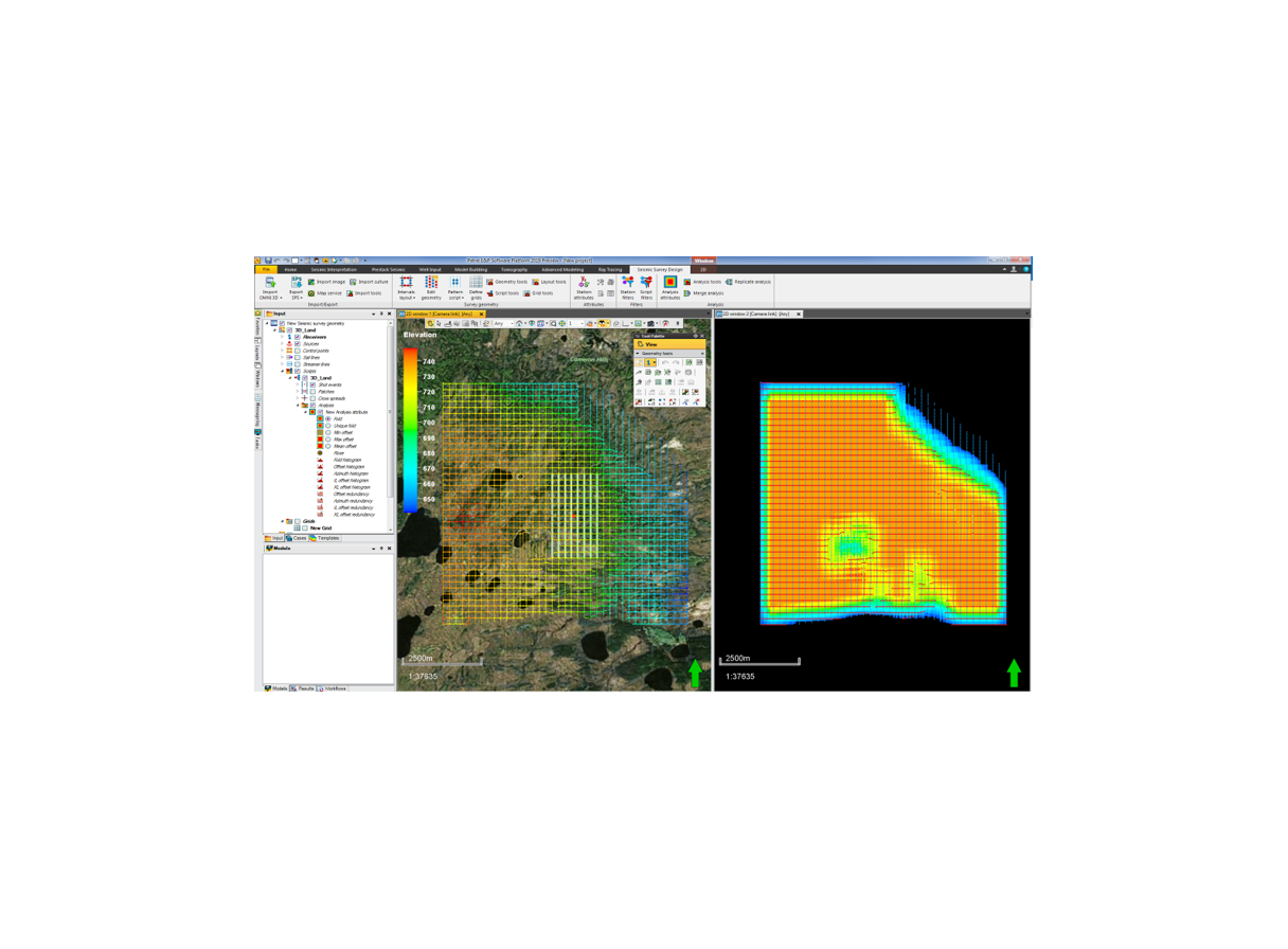
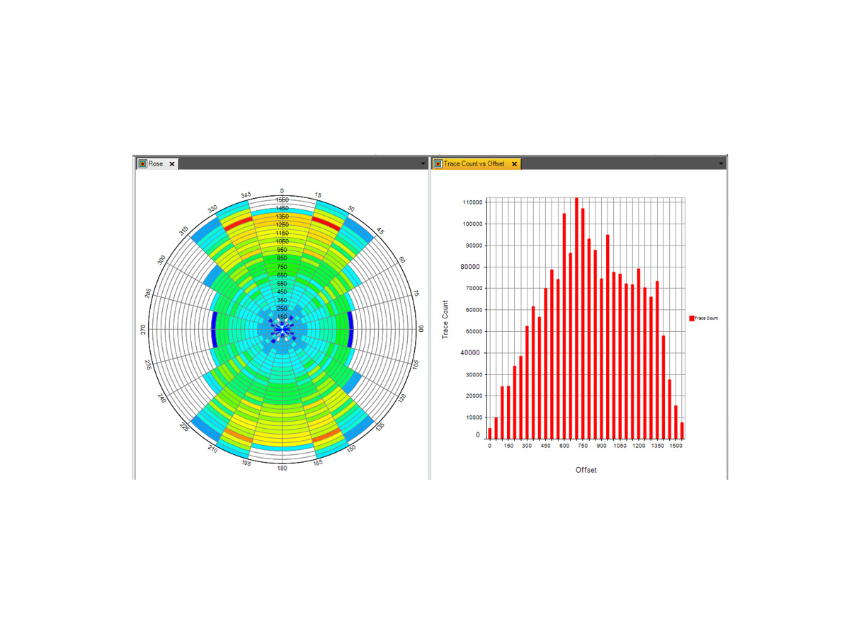
Analyze seismic surveys by generating map plots (fold, unique fold, OVT single fold, and minimum and maximum offset) and statistical charts (rose plot, offset and azimuth histograms, and offset and azimuth redundancy plots).