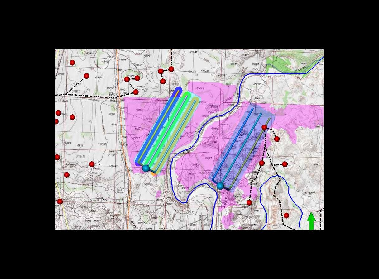
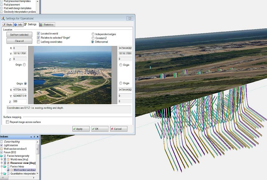
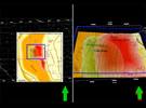
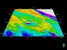
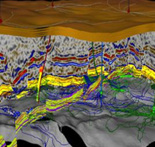
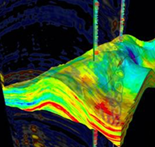
With Petrel surface imaging, users can drape a surface with any georeferenced image, including aerial or satellite images, scanned maps, seismic time slices, and property maps.
In hilly terrain, access to proposed drilling sites can be checked by draping a satellite image over the model. For pad placement in shale gas reservoirs, maps containing information on roads, rivers, mountains, and facilities are invaluable. Petrel Surface Imaging also enables positioning scanned 2D seismic or stratigraphic sections in space for further interpretation.
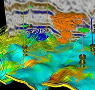
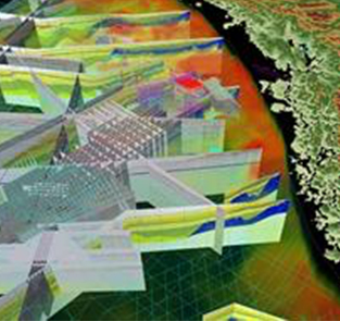
3D model building
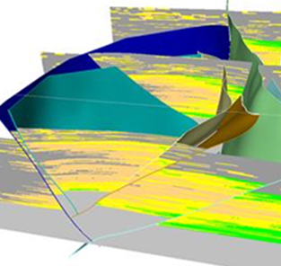
Petrel Surface Imaging enables users to build 3D models when only paper data is available. Paper maps can be scanned and then imported as images, from which digital maps can be created by digitizing the contours.
Once an image is georeferenced, users can create a surface where the pixel intensity is used as the elevation—enabling images to be displayed together with Petrel platform models.
Features
- Import images in a range of formats and set corner coordinates to orientate them spatially.
- Drape images over surfaces.