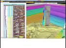
The earth model building plug-in integrates the Omega geophysical data processing platform and Petrel subsurface software to bridge the gap between the two historically separate domains of interpretation and velocity model building and of migration and tomographic inversion. Joining highly visual and interactive modeling with computationally intensive inversion makes it possible to build more accurate, comprehensive earth models than ever before to solve complex imaging problems with greater efficiency.
The plug-in’s full suite of interactive workflows enable users to build velocity models and execute depth-imaging workflows within Petrel through integration with the Omega platform. The earth model building suite meets the need for efficient integration of interpretation, modeling, and seismic processing tools to facilitate any imaging workflow through access to the Omega platform as well as Petrel geophysics software. This ensures accurate representation of reservoir velocity properties, including anisotropic parameters derived from well and seismic information.
Features
-
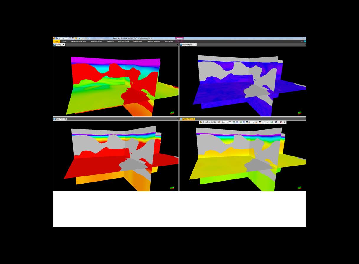
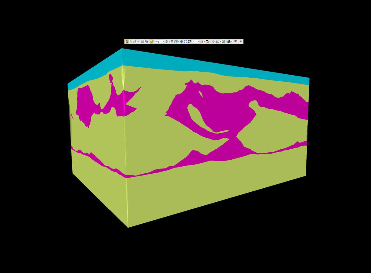
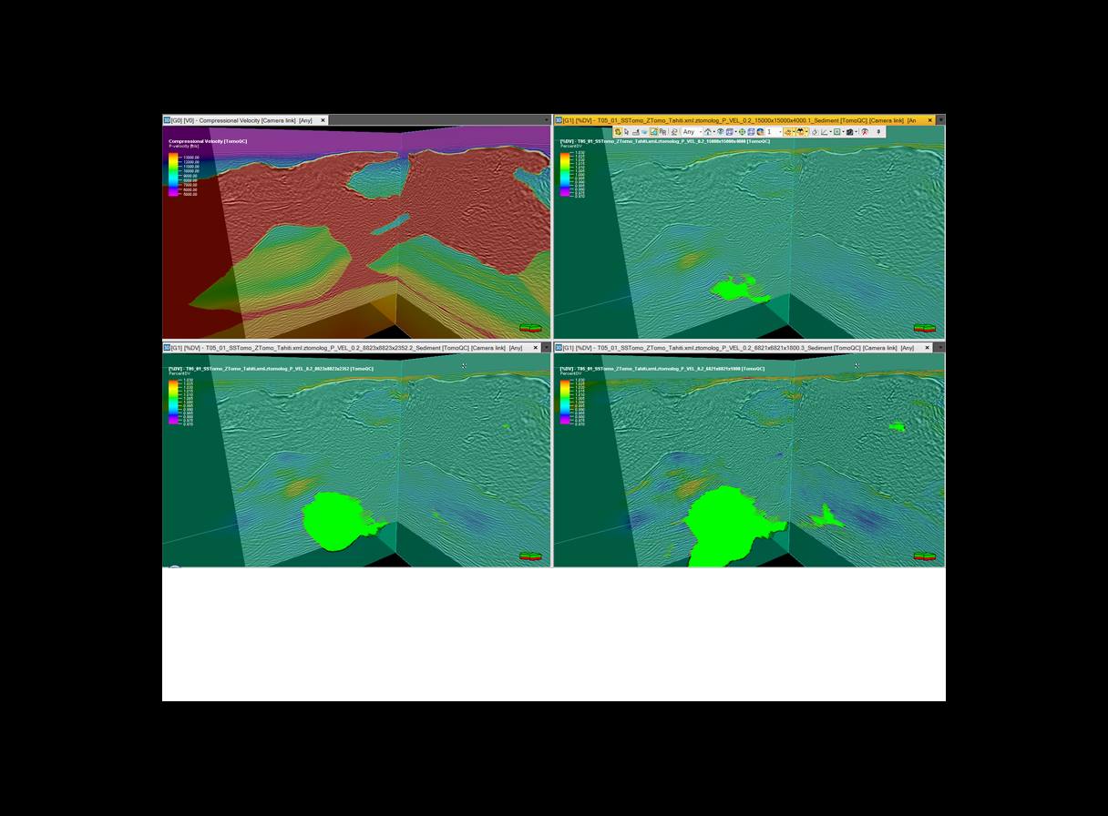
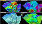
Seismic velocity modeling to build a structural framework and property population with velocity information and Thomsen epsilon and delta parameters as well as density and shear velocities. Models are fully anisotropic, supporting both vertical transverse isotropy (VTI) and tilted transverse isotropy (TTI). The plug-in also enables earth model updates directly in the Petrel platform, with a tomographic solution computed in the Omega platform.
-
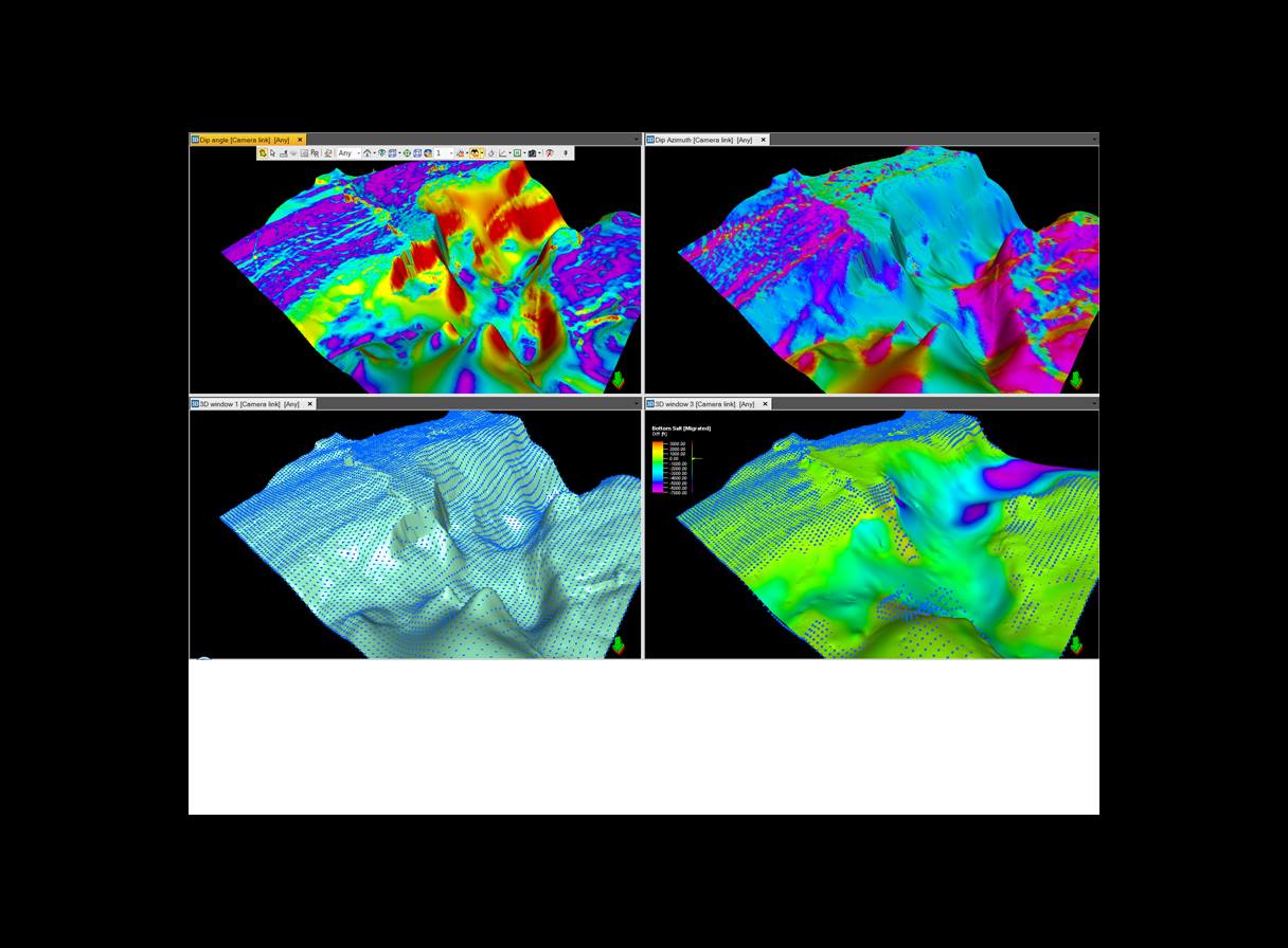
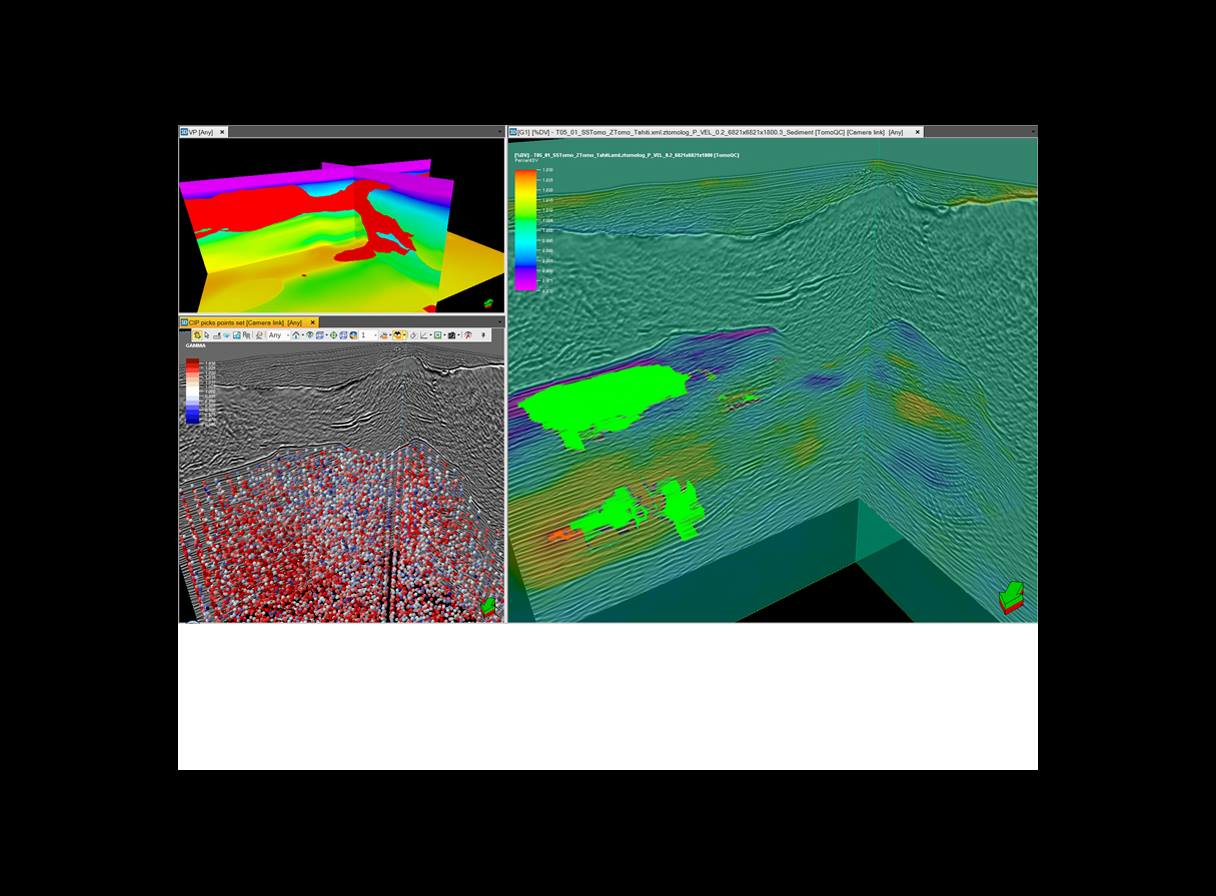
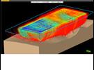
Map migration to update 3D positioning of horizons by using ray tracing to visualize the effect of earth model variation on a specific horizon without remigration of the seismic data.
-
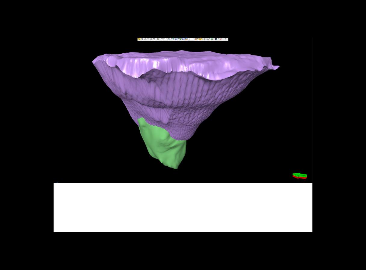
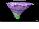
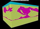
Geobody mesh modeling and interactive structural model editing processes to create and edit complex geological bodies.
-
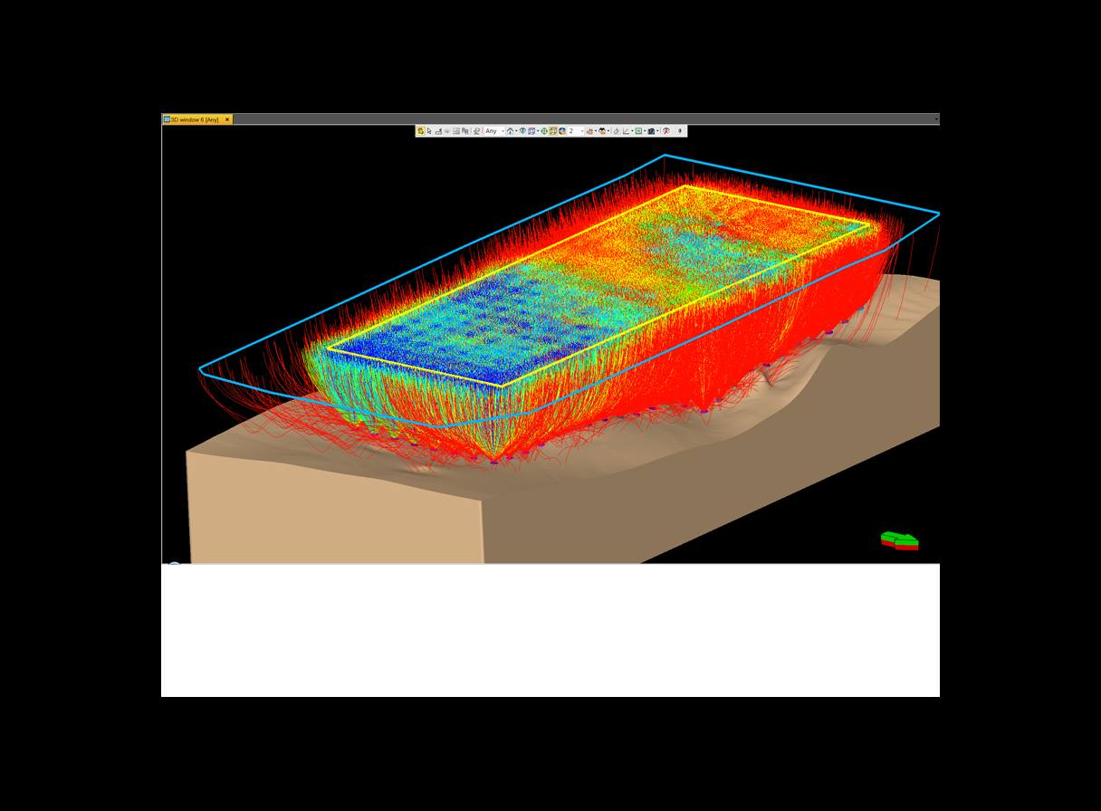
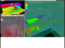
Performance of ray tracing and illumination studies throughout the earth model to provide insight into illumination variation or different acquisition geometries.
-
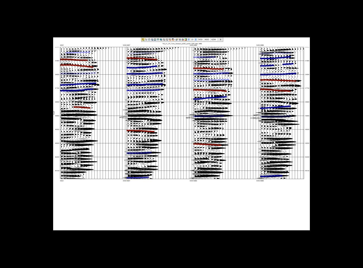
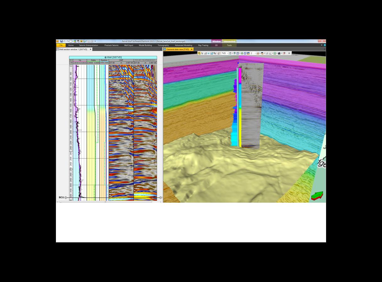
SeisCal application plus 1D ray tracing at the well location to define initial anisotropic parameters of the earth model, closely approximating the real geology.
-
Multiwell modeling integrating multiwell data to derive the Thomsen delta field and propagate it in 3D along the geological structure.
-
Near-surface modeling to build earth models for the depth migration of land data by using near-surface velocities derived from seismic refraction static solutions and merge these with existing earth models.
-
Localized seismic imaging to perform interactive Omega platform depth migration within Petrel for an area of interest. This is used for earth model scenario testing. Data are directly visible within Petrel without data transfers.